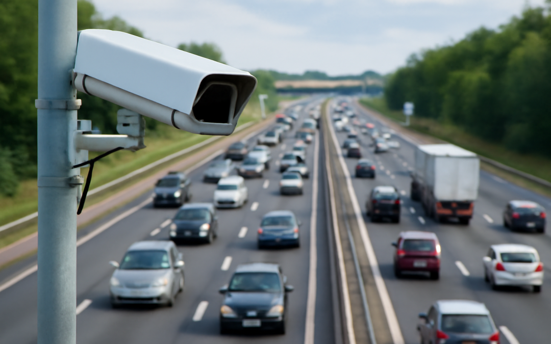
Understanding how traffic is tracked has become essential in a world where transportation infrastructure and road safety heavily depend on accurate data. Tracking traffic involves monitoring the flow of vehicles and pedestrians on roads, highways, and urban streets to gather crucial information for transportation planning, traffic management, and environmental monitoring. It allows authorities to optimize traffic signals, reduce congestion, plan future road development, and enhance safety measures. Through a variety of technologies and methodologies, traffic tracking provides an invaluable glimpse into the dynamics of movement within complex transportation networks.
One of the earliest methods of traffic tracking involved manual counting, where personnel stood at strategic points to record the number and types of vehicles passing by. Although this method was labor-intensive and prone to human error, it laid the foundation for more advanced automated techniques. The evolution of technology has since transformed traffic tracking into a highly sophisticated discipline, tapping into sensors, cameras, satellite data, and real-time analytics to obtain a more accurate and continuous flow of information.
Inductive loop detectors are among the most common sensors used for traffic tracking. These electromagnetic sensors are embedded in the road surface at intersections and highways to detect the presence of vehicles. When a vehicle passes over or stops on the loop, it creates a change in the magnetic field, which the sensor registers as a vehicle’s presence. This data can be used not only to count vehicles but also to trigger traffic signal changes, helping to improve flow efficiency. Inductive loops are valued for their reliability and relatively low cost, making them a staple in urban traffic management systems worldwide.
Radar sensors offer another technology used for traffic tracking by emitting radio waves that bounce off moving vehicles. By measuring the frequency shift of the returned signal—a principle known as the Doppler effect—radar sensors can determine the speed and direction of vehicles. Radar-based traffic monitoring systems are often used in highways and freeways for speed enforcement and congestion management. Their ability to function effectively in all weather conditions and poor lighting makes them a versatile tool for constant traffic surveillance.
Alongside radar and inductive loops, video detection systems play a major role in modern traffic tracking. High-resolution cameras installed on poles or traffic lights monitor roadways continuously. These cameras feed data into image recognition software that can count vehicles, identify vehicle types, and detect incidents such as accidents or stopped vehicles. Video systems offer the advantage of visual confirmation of traffic conditions and can cover multiple lanes or a wide field of view. Recent advances in artificial intelligence have enhanced the capabilities of video tracking by improving object detection and classification within complex traffic scenes.
Global Navigation Satellite Systems (GNSS), such as GPS, have revolutionized traffic tracking by enabling real-time vehicle location tracking through satellite signals. GNSS-based tracking is widely used not only by traffic authorities but also in fleet management and navigation apps. When aggregated and anonymized, GPS data from hundreds or thousands of vehicles provide detailed flow patterns, congestion hotspots, and speed variations. This aggregated data is critical for dynamic traffic management, enabling the adjustment of signal timings, route recommendations, and incident responses in real time.
Mobile phone data is another innovative source utilized for traffic tracking. By analyzing anonymized location data from mobile network providers, traffic analysts can determine traffic density and movement trends over large areas. This method offers the benefit of extensive coverage, capturing movements not only on major roads but also on local streets and pedestrian pathways. While concerns about privacy and data security exist, aggregation and anonymization practices help ensure individual identities are protected while still providing valuable traffic insights.
In addition to fixed sensors and satellite systems, connected vehicle technology is emerging as a transformative force in traffic tracking. Vehicles equipped with communication devices can exchange information with each other and with roadside infrastructure, contributing to a more coordinated and accurate picture of traffic conditions. This vehicle-to-everything (V2X) communication facilitates real-time alerts about accidents, road hazards, and traffic jams, allowing faster and more effective decision-making by traffic control centers and drivers alike.
Traffic tracking also benefits from the deployment of drones and aerial surveillance. Equipped with high-resolution cameras and sensors, drones can be deployed to monitor traffic patterns over large areas, especially during peak hours, special events, or emergencies. They provide flexible and rapid response capabilities to observe congested areas, detect accidents, and assist in incident management. Aerial data collected through drones complements ground-level sensors and enables efficient traffic flow analysis from a broader perspective.
Aside from collection technologies, software and analytical methods play a vital role in how traffic is tracked. Sophisticated algorithms process the raw data to extract meaningful insights such as average speeds, queue lengths, travel times, and vehicle counts. Predictive analytics models incorporate historical and real-time data to forecast traffic volumes and potential congestion points. These forecasts are essential for transportation planners and traffic managers to implement mitigation strategies and optimize infrastructure use effectively.
The integration of Geographic Information Systems (GIS) enhances traffic tracking by mapping and analyzing traffic data within spatial contexts. GIS platforms combine traffic data with geographic features such as road networks, landmarks, and population densities to provide comprehensive views of mobility patterns. This spatial analysis supports urban planning, emergency response management, and environmental impact assessments by highlighting how traffic interacts with the surrounding environment.
Traffic tracking data also fuels advancements in smart city initiatives. Cities around the world are investing heavily in intelligent transportation systems (ITS) that utilize traffic data for seamless urban mobility. These systems dynamically adjust traffic signals, provide real-time transit updates, and offer adaptive route planning to reduce travel time and emissions. By integrating multiple data sources, such as sensor networks, mobile applications, and connected vehicles, smart cities aspire to create safer, more efficient, and more environmentally friendly transportation ecosystems.
Environmental monitoring is another critical facet that benefits from accurate traffic tracking. Since vehicular emissions are a leading source of urban pollution, understanding traffic patterns helps estimate pollution levels and develop strategies to reduce environmental impact. Traffic data can guide the implementation of low-emission zones, congestion pricing, and optimized traffic flow to minimize idle times. Consequently, effective traffic tracking contributes not only to mobility improvements but also to public health and sustainability goals.
Furthermore, traffic tracking plays a significant role during emergencies and large public events. Accurate and timely data on traffic volumes and flows enable authorities to manage evacuation routes, deploy emergency services efficiently, and minimize disruptions. In disaster scenarios, such as natural calamities or major accidents, real-time tracking can help identify blocked roads, reroute commuters, and provide safety information promptly, thereby saving lives and resources.
Privacy and ethical considerations have become increasingly important in the realm of traffic tracking. As more data is collected, often involving the movement patterns of individuals, it is crucial to implement robust measures to protect user privacy. Regulations such as the General Data Protection Regulation (GDPR) in Europe require clear protocols for data anonymization, consent, and transparency. Ethical data use ensures public trust and promotes the responsible advancement of traffic tracking technologies.
In summary, the ways traffic is tracked today span a broad spectrum of technologies and approaches, from traditional inductive loops to complex satellite and communication networks. Each method contributes unique strengths to the overall understanding of how transportation systems function in real time. Combining data from multiple sources enables a comprehensive and nuanced view, which supports safer roads, efficient travel, environmental protection, and informed planning. As technology continues to advance, the future of traffic tracking promises even greater precision, integration, and accessibility, transforming how we navigate and manage transportation worldwide.